This NSDC Data Science Flashcards series will teach you about geospatial analysis, including visualizations, data processing, and applications. This installment of the NSDC Data Science Flashcards series was created and recorded by Aditya Raj. You can find these videos on the NEBDHub Youtube channel.
In this video we talk about Geospatial Data Analysis, where we uncover hidden insights, patterns, and stories within location-based data.
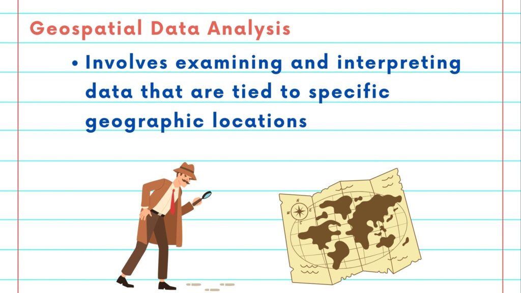
Geospatial Data Analysis is like detective work, but with maps. It involves examining, interpreting, and making sense of data that’s tied to specific geographic locations.
But why is it so important? Well, because location matters. It can reveal valuable information about our world, whether it’s understanding urban growth, monitoring environmental changes, or optimizing supply chains.
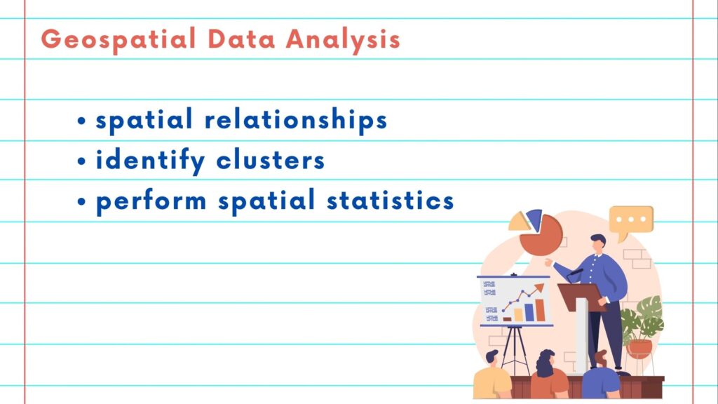
Geospatial Data Analysis comes in many forms. You can explore spatial relationships, identify clusters, or perform spatial statistics. It’s about asking questions and finding answers through data.
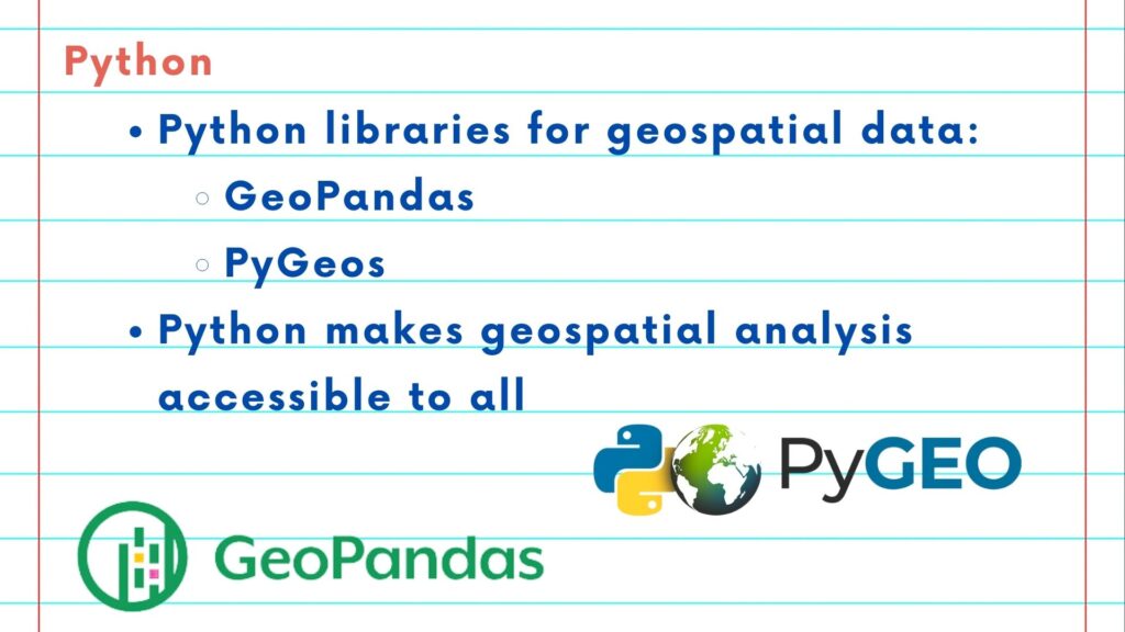
And what’s our tool of choice for this journey? Python! With its powerful libraries like GeoPandas and PyGeos, Python makes geospatial analysis accessible to all.
Python allows us to manipulate, visualize, and analyze geospatial data effortlessly. It’s like having a Swiss Army knife for data exploration.
Please follow along with the rest of the NSDC Data Science Flashcard series to learn more about math and probability.