This NSDC Data Science Flashcards series will teach you about geospatial analysis, including visualizations, data processing, and applications. This installment of the NSDC Data Science Flashcards series was created and recorded by Aditya Raj. You can find these videos on the NEBDHub Youtube channel.
In this video, we’ll embark on a journey to explore the very essence of location-based information.
Geospatial data is all around us, shaping the way we understand and interact with the world. But what exactly is geospatial data?
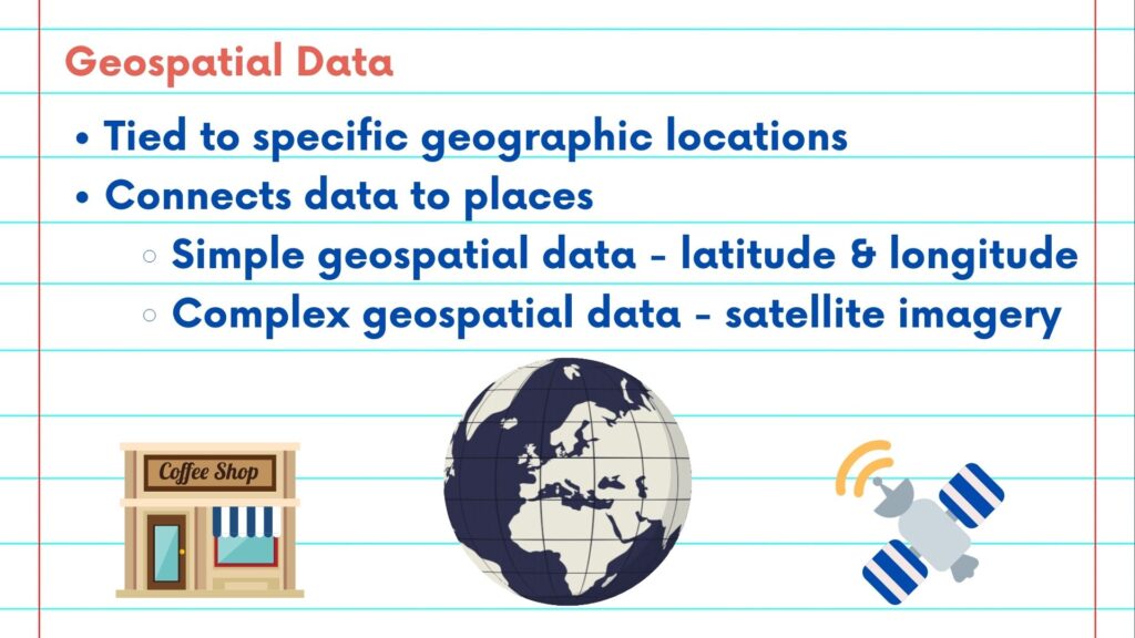
At its core, geospatial data is data that is tied to specific geographic locations on our planet. It’s information that comes with a built-in GPS coordinate, enabling us to connect data to places.
Geospatial data comes in various forms. It could be a simple latitude and longitude, like the coordinates that guide you to your favorite coffee shop. Or it might be complex data like satellite imagery, showing us detailed views of our Earth from space.
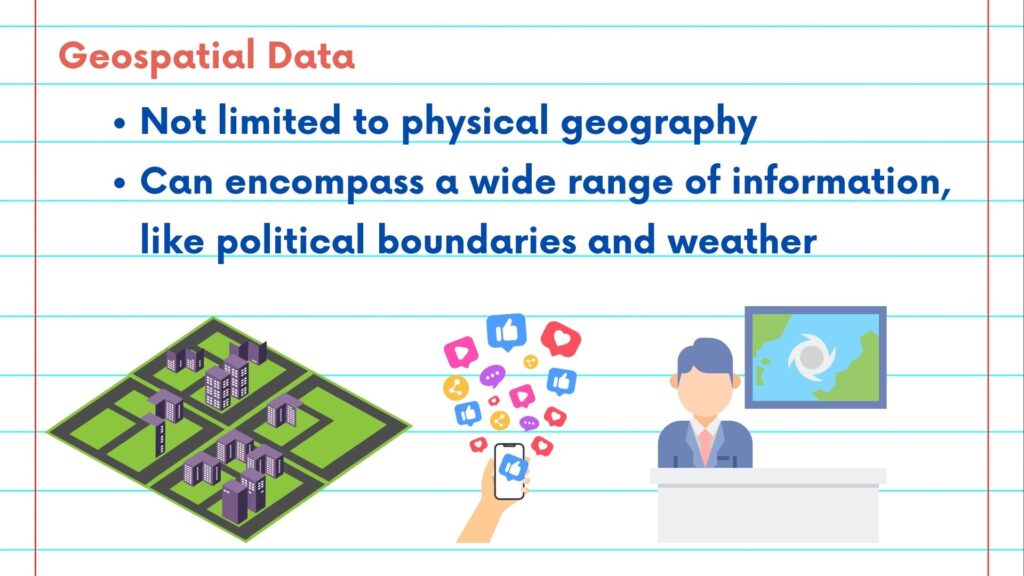
This data isn’t limited to physical geography alone. It can encompass a wide range of information, from political boundaries to weather patterns, and even the locations of your social media posts. Think about it. When you use a navigation app to find the nearest gas station, when meteorologists predict the path of a hurricane, or when urban planners design safer, more efficient cities, they’re all relying on geospatial data.
Geospatial data is the foundation of Geographic Information Systems, or GIS, which is a powerful tool for visualizing, analyzing, and interpreting location-based information.
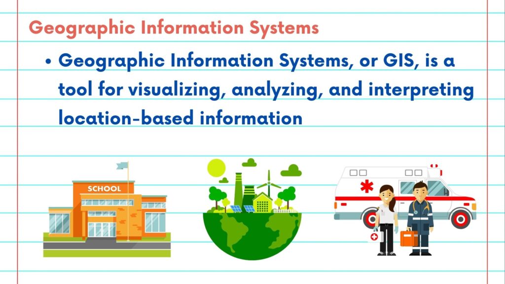
But why is geospatial data so important? Well, it allows us to answer critical questions: Where should a new school be built for optimal access? How does land use impact the environment? What’s the quickest route for emergency responders during a crisis?
The applications are limitless, from environmental conservation to disaster management, from business logistics to urban planning.
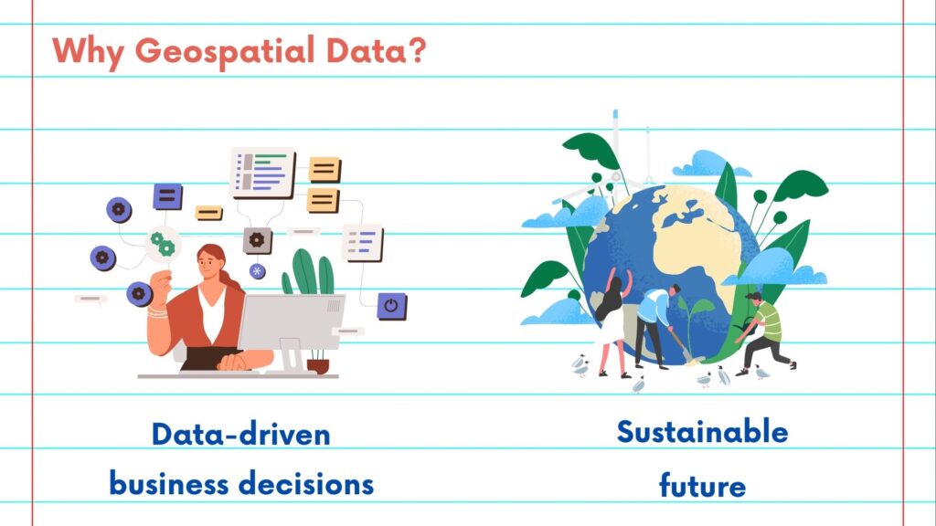
So, whether you’re interested in exploring the Earth’s natural wonders, making data-driven decisions in your business, or contributing to a more sustainable future, understanding geospatial data is your key to unlocking a world of possibilities.
In the upcoming videos, we’ll dive deeper into the world of geospatial data. We’ll learn how to visualize it, analyze it, and harness its potential to make informed decisions and solve real-world problems.
Please follow along with the rest of the NSDC Data Science Flashcard series to learn more about math and probability.