This NSDC Data Science Flashcards series will teach you about geospatial analysis, including visualizations, data processing, and applications. This installment of the NSDC Data Science Flashcards series was created and recorded by Aditya Raj. You can find these videos on the NEBDHub Youtube channel.
In this video, we talk about Geospatial Data Processing, where we transform raw data into valuable insights and knowledge. Geospatial Data Processing is like turning puzzle pieces into a complete picture. It’s the crucial step that takes us from data collection to data analysis.
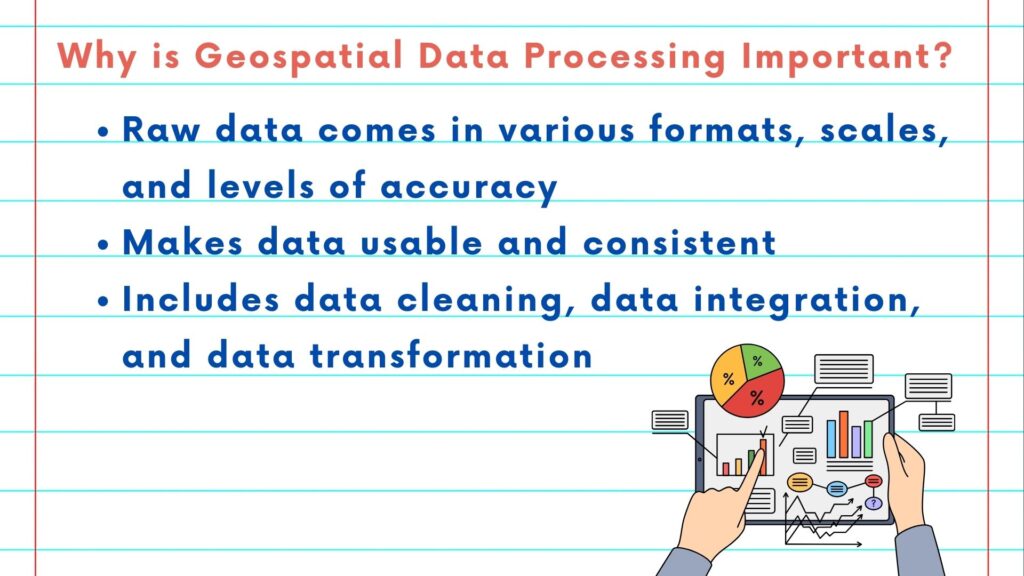
But why is it so important? Well, because raw data often comes in various formats, scales, and levels of accuracy. Processing is about making data usable and consistent. We deal with various challenges, like inconsistent data formats, missing values, and spatial inaccuracies. Our goal is to create a clean, usable dataset.

Geospatial Data Processing includes tasks like data cleaning, data integration, and data transformation. It’s like refining crude oil into valuable fuel.
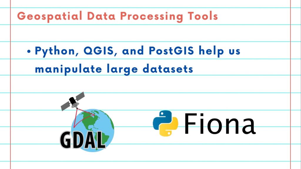
Tools like Python, QGIS, and PostGIS play a vital role in this process, helping us manipulate large datasets with precision. And what’s our tool of choice for this journey? Python! With its libraries like GDAL and Fiona, Python is the easiest way to deal with geospatial data processing. Python allows us to read, manipulate, and convert geospatial data with ease. It’s like having a magic wand for data transformation.

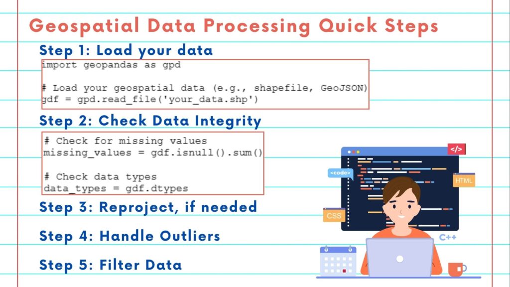
Here are the quick steps:
Step 1: Load Your Data
Step 2: Check Data Integrity
Step 3: Reproject if needed
Step 4: Handle Outliers
Step 5: Filter Data

Whether you’re merging maps, reprojecting coordinates, or cleaning up messy data, geospatial data processing with Python ensures that your analyses are based on reliable information.

Thank you for watching this video. In the next video, we will talk about advanced geospatial analysis.
Please follow along with the rest of the NSDC Data Science Flashcard series to learn more about math and probability.
