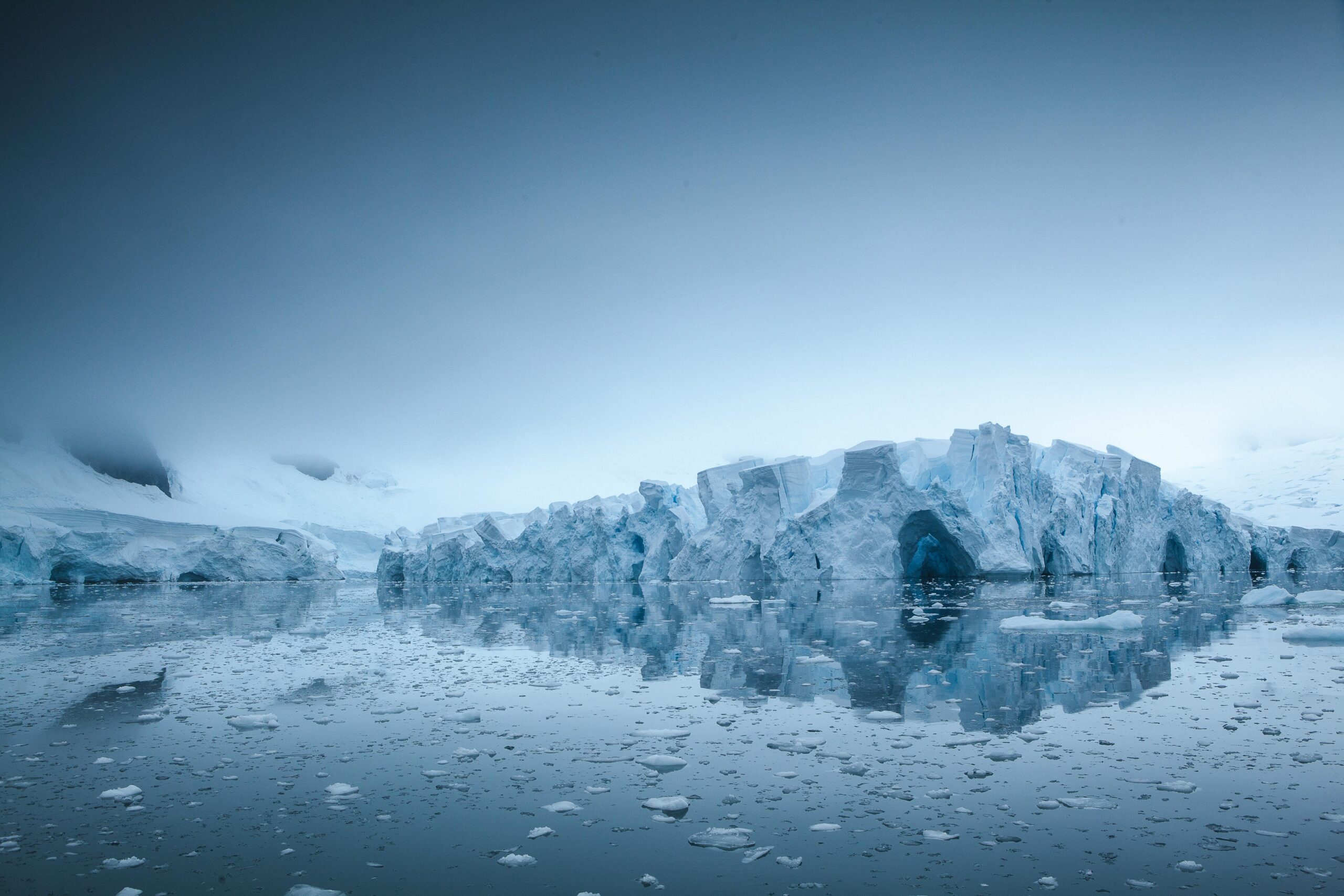
Permafrost-fed Lakes in the U.S. and
Canada (Part 1): Climate Studies
Project Description
In this project we will learn about the lakes in North America with a focus on permafrost-fed lakes. Permafrost is a permanently frozen layer on or under the Earth’s surface. It consists of soil, gravel, and sand, usually bound together by ice.
Natural fluctuations in the number and size of lakes are common, but decadal scale studies show that climate change is shifting these dynamic systems across a hydrological threshold, towards landscape-scale wetting (lake formation and/or expansion) or drying (lake drainage, desiccation or infilling).
Jump into this Data Science Project to practice data visualization skills while studying important climate topics.
Dataset
Relevant Skills You May Apply
Introductory Python Skills
Skills You May Gain
Intermediate Data Visualization Skills and Python Programming Skills
Total Time
Approximately 5 hours
Milestones
Milestone 1: Data Processing
Milestone 2: Data Visualizations
Deliverables
Deliverables include an interactive Google Colab Notebook.
