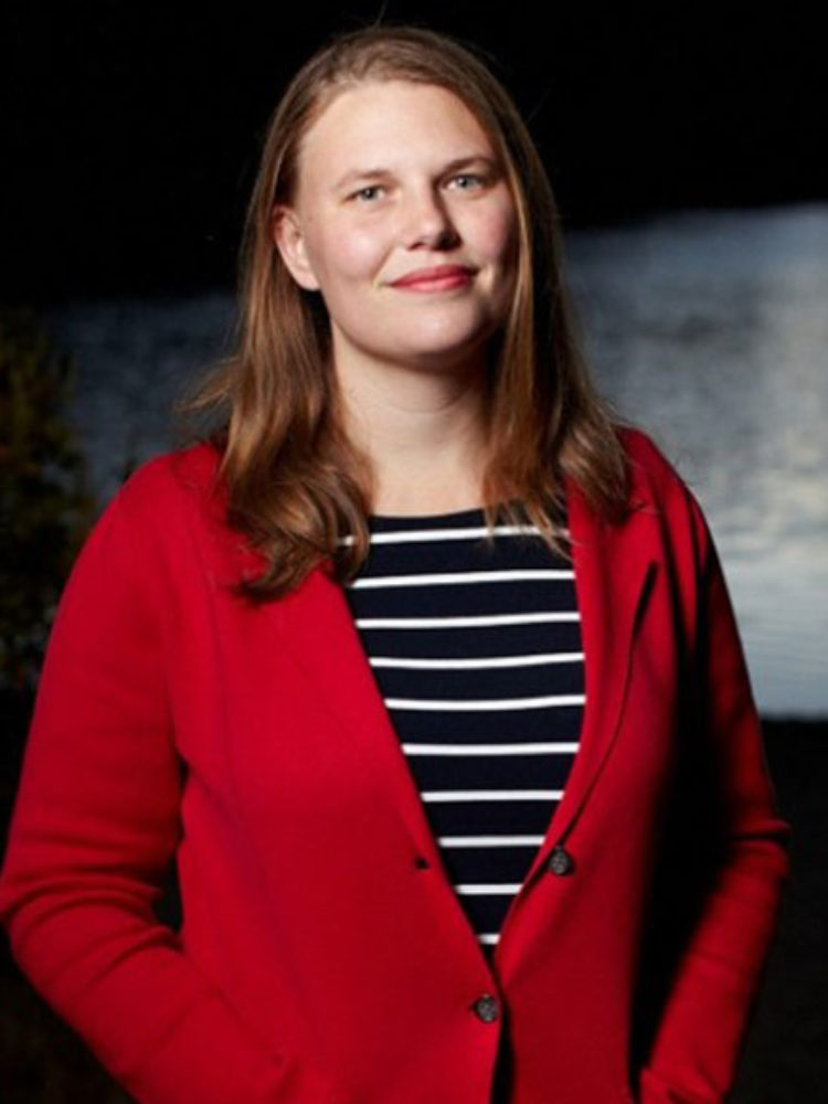
Guest post by Dr. Seth Cooper, Northeastern University
This Success Story is a report on the results of the Northeast Big Data Innovation Hub’s 2020 Seed Fund program.
The main goal of this project was to integrate location-based images into an augmented reality (AR) citizen science game toolkit by interfacing with APIs provided by other citizen science projects. The toolkit, called Tile-o-scope AR, uses an AR mobile app to display images onto a set of physical tiles, with which a variety of image matching games can be played.
Dr. Cooper’s team integrated the Tile-o-scope AR app with iNaturalist’s API, so that it is possible to dynamically create image sets of animals found around a particular city on request. They then developed a user interface that allows the user to specify a city, and then a set of images around that city are requested from iNaturalist and assembled into an image set. The image set can be used to play games in the app. Improvements to the initial interface design and a more formal user study of location-based citizen science applications are pending.
As a result of this project, Dr. Cooper’s team have included Tile-o-scope AR and related AR technologies in proposals around citizen science to the NSF (related to coastal climate change research and resilience planning) and NASA (related to citizen science in Louisiana), which could also incorporate the location-based features developed into educational applications. They expect to include location-based AR technology in future grant proposals (e.g. planning an NSF proposal related to collaborative AR exploration of map and location data such as air quality). Dr. Cooper’s team plans to use this feature for climate change adaptation planning in an upcoming research proposal for coastal communities and would like to carry out a more formal user study of the technology specifically developed during this seed project and the impact and use cases of location-based image labeling in AR. A recent study run on the general Tile-o-scope AR app indicates it may be most effective in settings such as museums, which could integrate well with location features.
Also involved in the development of this project was Colan Biemer, a PhD student at the Khoury College of Computer Sciences, Northeastern University.
Lead PI: Seth Cooper (Northeastern University)
Collaborators: Sara Wylie (Northeastern University)

Seth Cooper is an assistant professor at the Khoury College of Computer Sciences at Northeastern University. His work combines scientific discovery games (particularly in computational structural biochemistry), serious games, and crowdsourcing games.
Sara Wylie is an assistant professor at Northeastern University with a joint appointment in sociology/anthropology and health sciences, where she is a member of the Social Science Environmental Health Research Institute. Wylie seeks to develop new modes of studying and intervening in large-scale environmental health issues through a fusion of social scientific, scientific and art/design practices and is engaged in developing open-source research projects on low-cost thermal imaging, low-cost imaging of water pollution, and community-based methods for detection of hydrogen sulfide among other civic science projects.

